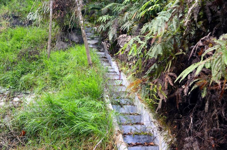
We managed to do some research before our trip even it was not a thorough one. Make sure to do some survey before deciding on your trip. It's important to know what the place is like, what amenities do they have, what you will expect when you're there etc. In shorter words, always be prepared. We're started our adventure from the main road junction and it took us 3 hours walk to reach telecommunication tower (about 12km from the place we parked our car). Generally you can reach the telecommucation tower by car (preferable 4WD since the road is not so even for normal cars and you never want to damage your cars) but since our friend requested for a tough trip, we decided to walk. Along the walk, we did not know the distance to the telecommunication tower and we could not imagine how far it was going to be. Hihi.. There was a huge group came after us to visit the airplane crash area too and we met them at the telecommunication tower.
We had some discussion before we continued our journey to the crash area. We had to walk for about another 1 hour 30 minutes to reach the airplane crash area. (It was a little slow since we spent some time taking photos, looked around and also because of my slow steps ). After our first stop, ee continued our steps further ~1.5 hours before we made a U-turn to the telecommunication tower. Finally we were back to the initial starting point, which was the telecommunication tower at around 5p.m. It was our lucky day, the team which we met earlier was still hanging around and we followed them to reach the main road by a 4WD. Our team completed around 28.5km (20km - up the mountain and coming down around 8.5km - just a rough estimation). It was pretty good exercise for us.
Just some advice for beginners or first timers to this place:
1. It is good to wear track suit and long sleeve t-shirts. Along the way, there is a lot of plants with thorns
2. Watch out your steps because the track is not as clear as the famous mountains'
3. Always stick with your group or team members. During our hiking, only 3 of us were there in the mid of the jungle! We did not see anyone except at the telecommunication tower. Probably it might be due to less visitos at that time but we were not quite sure either.
4. Drinking water supply is important. Make sure to bring sufficient water because we were already out of water towards the end of the journey.
There is no dedicated signage saying 'Gunung Telapak Buruk'. Once you observe this signboard, if you are from Seremban, you need to make a right turn.
Distance is about 12km from the signage you'll see earlier. You may opt to walk but it is highly recommended to drive up to this communication tower.
Meeting and making new friends! Outdoor activity is another way of creating good network.
'Hutan Simpanan Kekal' translated to 'Reserved Forest' in English.
It was in 1945 that we lost them.
Bits and pieces from the airplane crash.


will going there one day..in sha Allah...
ReplyDeletethanks for the entry:)
Hi Melaty Fiza,
DeleteThank you for dropping by our blog :) If you are going to Gunung Telapak Buruk, please make sure safety comes first! Feel free to share your experience in our Facebook page too: https://www.facebook.com/globetrottertalks
Till then,
Globetrottertalks Travelogue Team